Nearshore coastal observatory network
The SEACAMS2 Nearshore and Coastal Observatory team are experts in monitoring and quantifying changes to the hydrodynamics and seabed in the challenging shallow nearshore region that spans the intertidal beachface to the shallow coastal shelf. It is across this region where waves and tides develop in both magnitude and complexity as they interact with and modify the coastline and shallow seabed, particularly under energetic storm conditions. These factors have direct relevance to the development of coastal infrastructure such as tidal range energy, and coastal storm impact and inundation flooding.
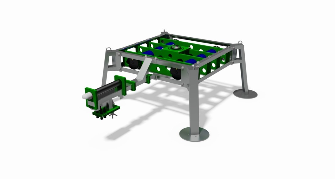
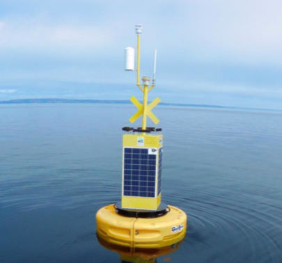
Our real-time oceanographic data buoy systems form one of the foundations of our observational work, integrating acoustic and optical instrumentation to quantify waves, currents, suspended sediments and related water quality parameters, and to rapidly deliver this information to scientists and end-users. Linked to our ongoing coastal monitoring using terrestrial laser scanning, UAV's, GPS and multi-beam echo sounding, these systems enable SEACAMS2 to conduct integrated coastal and nearshore monitoring programmes to support both industry and science.
Recent and ongoing research projects include:
- real-time characterisation of nearshore wave properties
- real-time quantification of tidal and wave-driven current intensity
- quantification of turbulence dissipation rates in high energy tidal environments
- sediment transport pathways and fluxes
- coastal and nearshore storm impacts
Please get in contact with us if you would like to know more about our capabilities or collaborate on R&D projects.