O Dan y Dŵr - Hidden Seascapes of Wales
Gallows Point
Menai Strait near Beaumaris
(zoom in for a closer look)
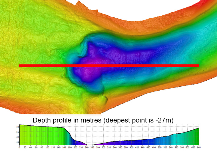
This false colour projection of multibeam sonar data, where colours
represent different depths below the surface (blue representing the
deepest and red the shallowest) illustrates the depth and physical
composition of the Menai Strait between Bangor Pier and Beaumaris over
a distance of three miles.

The image illustrates how the depth of the main channel of the Menai Strait varies
along its length, with large stretches often less than five metres deep at low water. The main
feature in the image consists of a large, almost circular 200m diameter depression in the
seabed off Gallows Point, where the depth of the Strait rapidly increases by 20 metres.
The origin of this hole in the seabed is unclear but is highly likely to be a consequence of present
day conditions and the influence of the promontory at this location interfering with the nearlinear
tidal flow in this part of the Strait. The reason for its depth is due to significant
accumulations (<20m) of prehistoric soft, fine grained sediments, consisting of estuarine
clays interspersed with ancient peat deposits dated to between 12,000 and 6,000 years old
having being eroded as the Menai Strait evolved into its present state. Sediment cores
obtained by drilling into the seabed adjacent to this feature have provided scientists from
Bangor University with valuable evidence on how sea levels in this region of North Wales have
changed since the end of the last ice age and provided information on how and when the Menai
Strait evolved from being two river valleys up to around 14,000 years ago, into opposite facing
tidal embayments between 14,000 and 7,000 years ago, through to becoming a tidal strait
between 7,000-5,000 years ago.
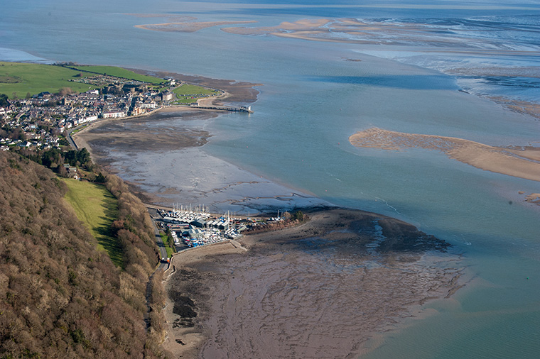
Shallower inter-tidal areas to the south are challenging to survey using multibeam sonar from
a vessel due to limited water depths, hence the lack of data from this location, however areas
around the pier and at the point where the river Ogwen enters the Menai Strait are routinely
surveyed for ongoing scientific research and as part of an undergraduate teaching
programme.
The seabed surface over much of this area is characterised by medium and coarse shelly
sands and the courser texture visible on the surface to the
east and west of Gallows Point largely reflects the use of this
area as a commercial Mussel fishery.
(View along the Strait from the west)
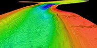 (View along the Strait from the east)