O Dan y Dŵr - Hidden Seascapes of Wales
Liverpool Bay
man-made crater zone
(zoom in for a closer look)
This false colour projection of multibeam sonar data, where colours represent different
depths below the surface (blue representing the deepest and red the shallowest) illustrates
the depth and physical composition of approximately three square miles of seabed located
twenty miles northwest of Llandudno, to the north of the Dee and Mersey estuaries in
Liverpool Bay where average water depths range between 25m-30m.
This "North-up" image illustrates the variable nature of the seabed which is dominated by
large asymmetric sand waves up to 3m higher than the surrounding seabed. They are
orientated perpendicular to the prevailing tidal flow which is northwest-southeast. They are
asymmetrical (here the eastern face is steeper than the western face) as more sediment is
moved eastwards than westwards because the flood tidal currents (which move towards the
southeast) are stronger than the ebb tidal currents (which move towards the northwest. Due
to the tidal currents and nature of mobile sediment available some of these sand waves have
similar small-scale patterns (10cm-20cm) of sediment superimposed on their surface.
The deeper south and southwest region of this site is characterised by several hundred small
circular 'crater-like' features between 20m-50m in diameter and ranging between 1m-2m in
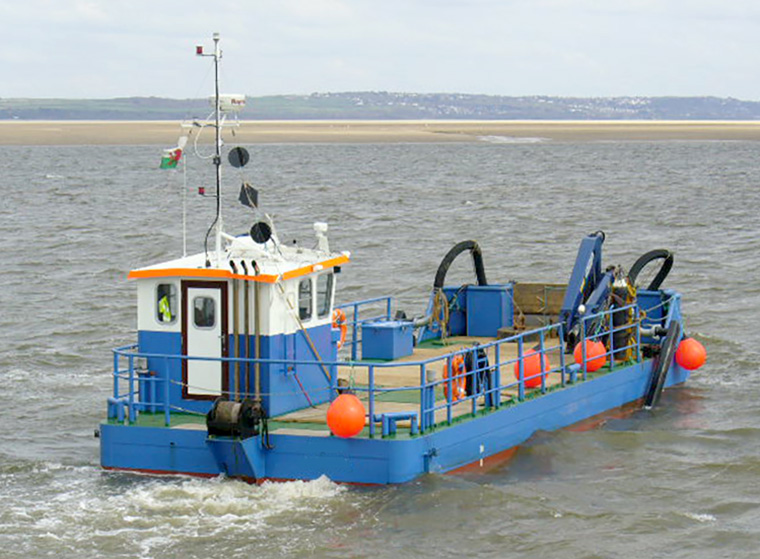
height. These features represent separate deposits of sediment that has been dredged from
within local estuaries such as the Mersey and Dee to maintain their integrity as navigable
channels. Over time these deposits are reworked through the prevailing tidal current regime
and much of the dumped material is then re-suspended and transported back into the
estuaries or onto adjacent coastlines.
 (Cratered area)
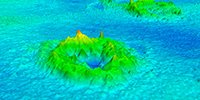 (Close-up of crater)