O Dan y Dŵr - Hidden Seascapes of Wales
SS Maarten Cornelis
Fishing vessel foundered in 1971 near South Stack
(zoom in for a closer look)
This false colour projection of multibeam sonar data (where colours
represent different depths below the surface) covers an area of seabed
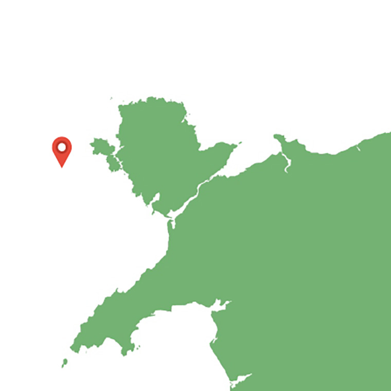
extending 400m x 200m, approximately 1 mile northwest of South Stack on
Anglesey.
This "North-up" image area contains the wreck of the Maarten Cornelis, a
119 tonne, 31m steel hulled fishing vessel built in Holland in 1968 and which foundered on
March 19th 1971 after running aground close to the South Stack lighthouse.
The wreck is fairly intact, lying almost upright at a depth of approximately 45m with the bows
facing east. The multibeam sonar data shows that the area immediately surrounding the
wreck is approximately 5-6m deeper than the wider region and is deepest in scoured areas
adjacent to the north facing, port side of the wreck. Sediment samples and towed video taken
from the site show that the relatively flat surrounding seabed consists of dense and
compacted coarse materials such as sand, gravel and cobbles, which are modified remnants
of glacial and post-glacial deposits. Surveys have also shown that due to the relatively strong,
generally north-south, tidal flows there is also a significant amount of suspended sediment
(mainly sand) moving continuously back and forth across the site.
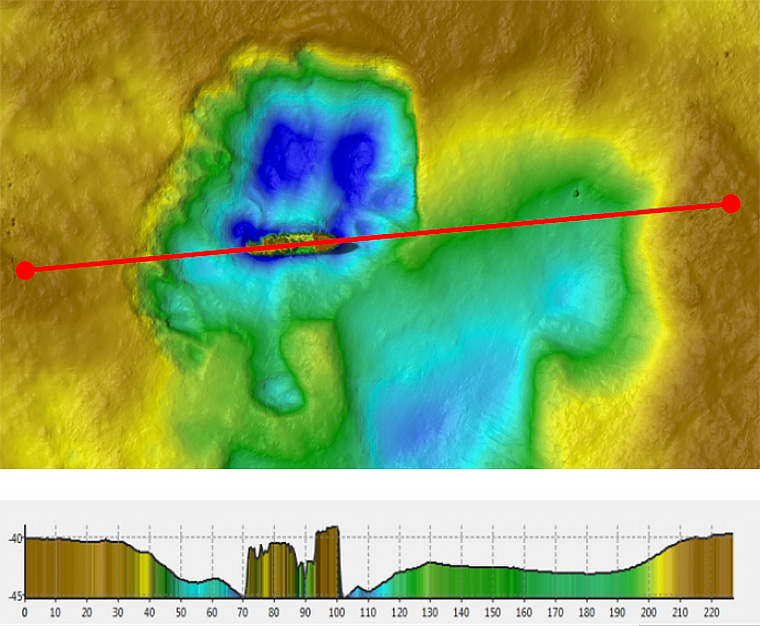
As the wreck is orientated perpendicular to the direction of tidal currents, a significant amount
of scour has taken place, the extent of this is difficult to attribute to the wreck itself but the
deepest scour appears to the north of the wreck and this is probably attributable to the fact
that the flood tide which flows in a northerly direction, is slightly stronger than that of the ebb
tide which flows to the south. Due to the very strong tidal flows (peak >3m/s) in this region of
Wales, this site and the wider surrounding marine environment off the coast of Holyhead has
significant potential for the generation renewable energy. A number of marine renewable
energy projects and studies are currently underway to explore this further including Bangor
University's SEACAMS2 project, the Menter Môn led 'Morlais' tidal energy demonstration
zone initiative and the Minesto 'Deep Green' tidal kite project 6 miles to the west of the wreck
site in Holyhead Deep. Researchers at Bangor University are using wreck sites such as this to
try and predict how placing foundations and turbines etc may influence marine processes over
decadal time scales.
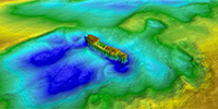 (Closer view)
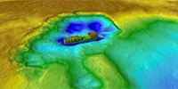 (Side view)