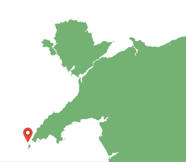
O Dan y Dŵr - Hidden Seascapes of Wales
The "Tripods"
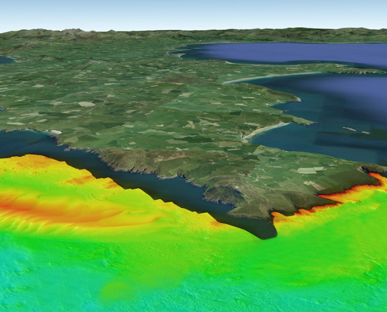
Formed by strong currents around the tip of the Llyn Peninsula
(zoom in for a closer look)
False colour projection of multibeam sonar data (where colours
represent different depths), illustrates the depth and physical
composition of an area 1500m x 800m of seabed located approximately two kilometres off the
northwest tip of the Llyn Peninsula covering part of an area known locally as the 'Tripods'.
This "West-up" image illustrates the west facing edge of a major sandbank that exists to the
north of the headland. The image illustrates an abrupt and almost linear boundary between
this sedimentary feature and the very different seabed type that exists to the west (in the upper
part of the image).
This teardrop shaped 'Banner Bank' attains a maximum height of thirty metres, a maximum
width of one kilometre and extends to the north (although gradually decreasing in height) for
over five kilometres. Water depths over the centre of the bank are approximately ten metres at
low water on Spring tides, whereas in the upper part of the image, to the west of the sandbank,
water depths are approximately thirty metres lower.
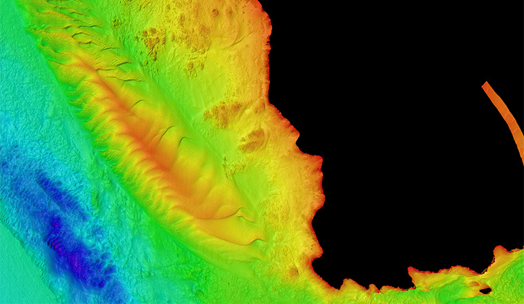
The existence and physical nature of this sandbank is entirely attributable to the influence that
the headland has on the tidal currents where it creates a localised, near-circular pattern of
flow (known as an eddy), disrupting and reducing the energy of the strong tidal flows, thereby
causing sediments to settle out onto the seabed in the pattern seen in the image. The large,
four metre high, sand waves superimposed onto the sandbank are very strongly asymmetrical
(the right side is much steeper than the left) due to the stronger flowing flood tide which moves
from left to right in the image, as are the smaller (half metre sized) sand waves which also
overly and further characterise this complex sedimentary bedform.
The seabed in the upper part of the image consists of very different, much coarser, dense
sediments that are the modified remnants of glacial and post-glacial deposits. In this area
away from the influence of the headland, very strong north-south tidal flows (>3m/s) ensure
very little material is deposited and visibility, even at slack water on Neap tides, is extremely
poor due to the amount of sediment that is constantly
suspended in the water column.
(Northeastern end of the bank)
 (Top down view of the surveyed area to the northeast of Bardsey Island)